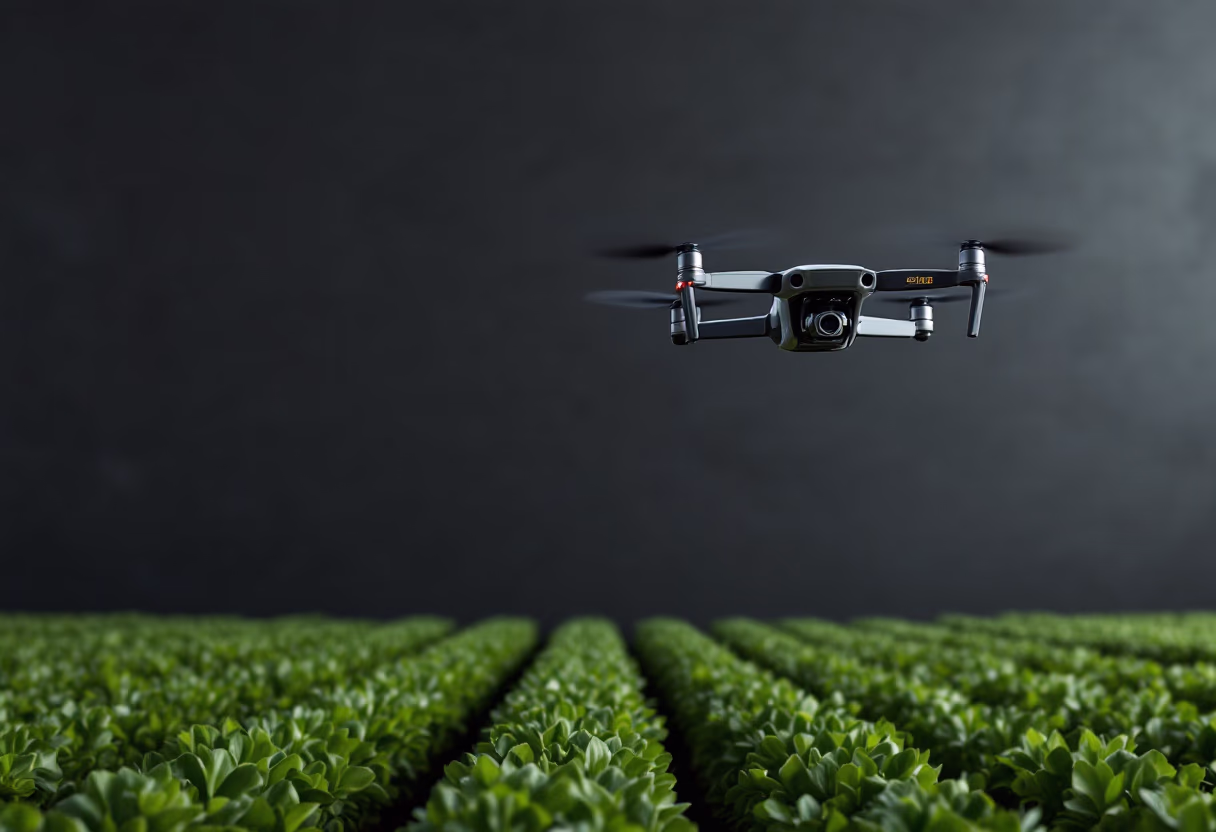
Advanced drone services for photography, inspections, and data capture. Serving London, Kent, and Essex with certified expertise and reliable results.

Advanced drone services for inspections, mapping, and visual insights—serving London, Kent, and Essex with accuracy and reliability.
All operations are conducted in full compliance with UK CAA regulations. We carry appropriate insurance and operate with safety, legality, and professionalism at the core of every flight.
No two sites are the same. Every flight, capture plan, and deliverable is tailored to your specific objectives, ensuring you get exactly what you need—nothing more, nothing less.
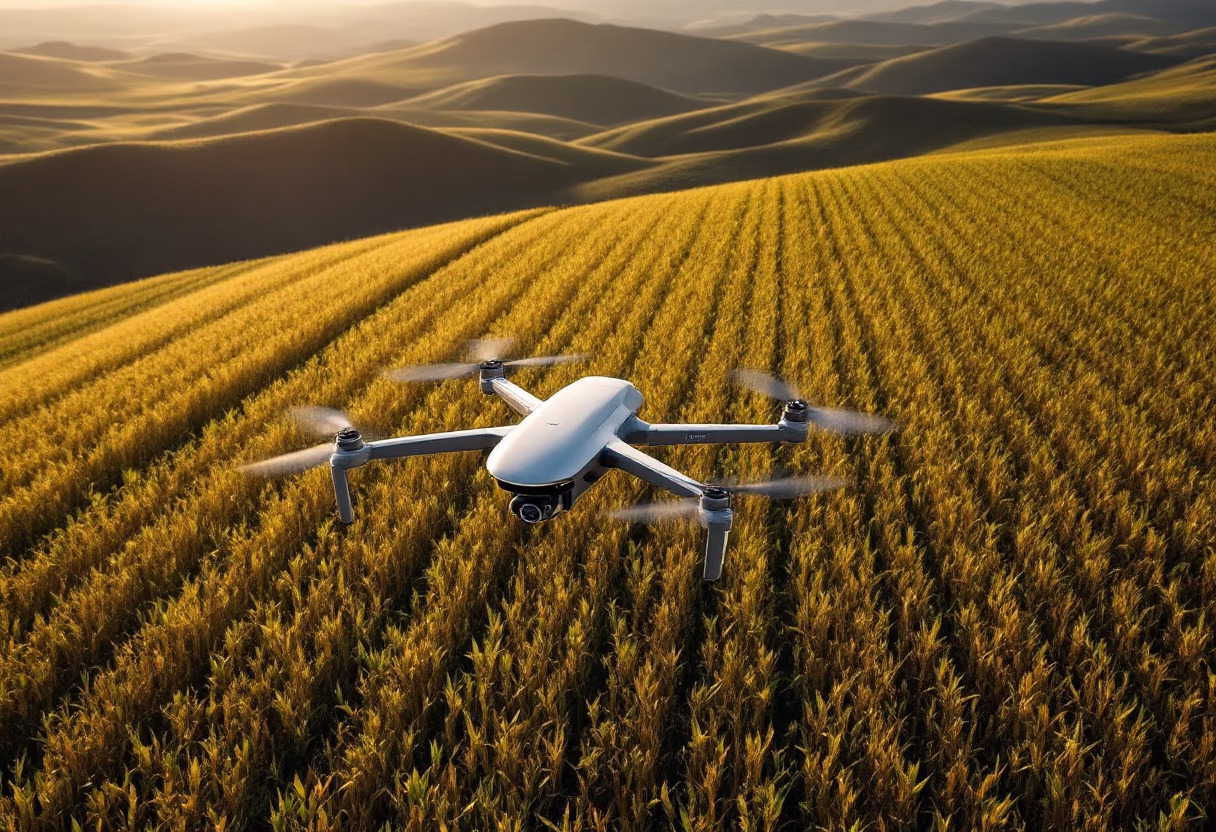
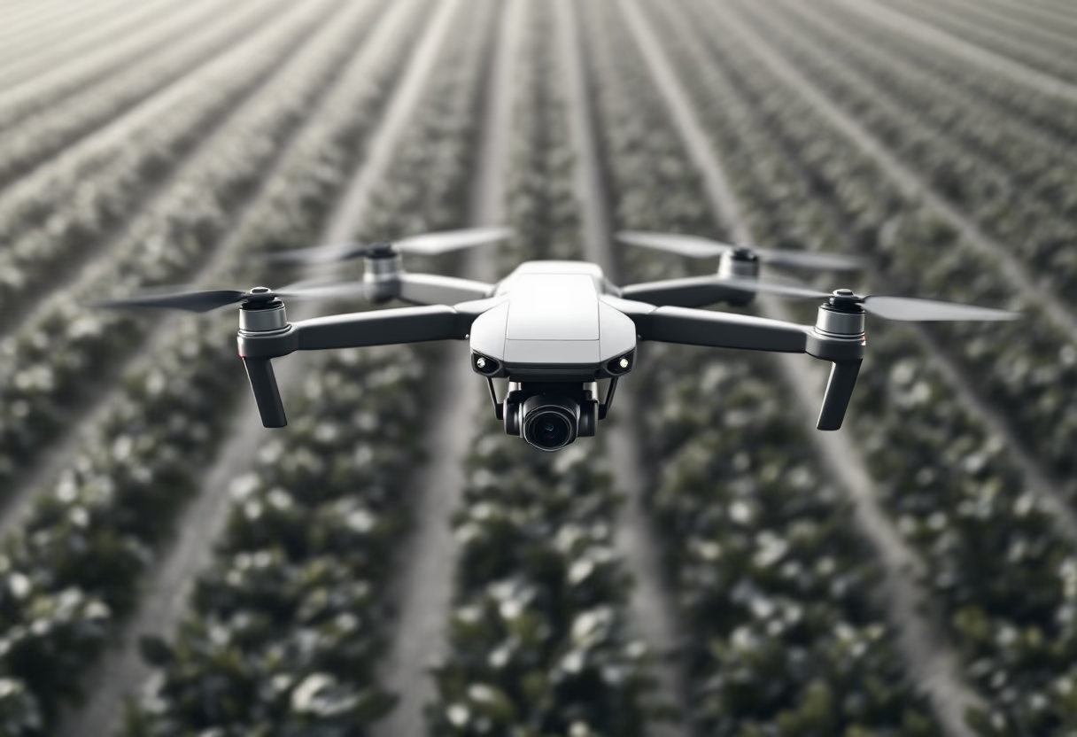
Drone technology allows us to complete inspections and surveys faster and more affordably than traditional methods—reducing downtime, access costs, and risk.
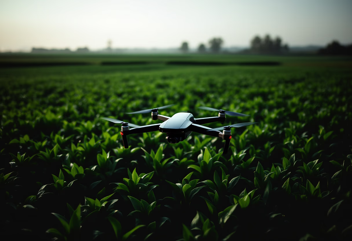
We deliver accurate, high-quality imagery and data using professional-grade equipment. Clear outputs, reliable results, and insights you can act on with confidence.
Stay informed with the latest news, project highlights, and expert insights on drone services and innovation.
![[background image] image of a digital display screen with marketing visuals (for an ai marketing tech company)](https://cdn.prod.website-files.com/690125eca71849e69a909495/6901268ab1b67c5a321b6c2a_1564b45b-45e7-4d03-852e-7c82f04ea000.avif)
Discover how drone roof inspections reduce risk, cut costs, and deliver detailed visual data without the need for scaffolding, cherry pickers, or site disruption.
![[digital project] image of industry insights article (for a pr firm)](https://cdn.prod.website-files.com/690125eca71849e69a909495/6901268a4c4a111ac8aa3907_2668dfed-7e6d-4bbf-bf8b-65dd4170853c.avif)
A clear, plain-English guide to UK drone regulations, CAA requirements, and how compliant operators safely carry out commercial inspections.
How aerial surveys help construction teams monitor progress, improve communication, and maintain accurate visual records across a site.
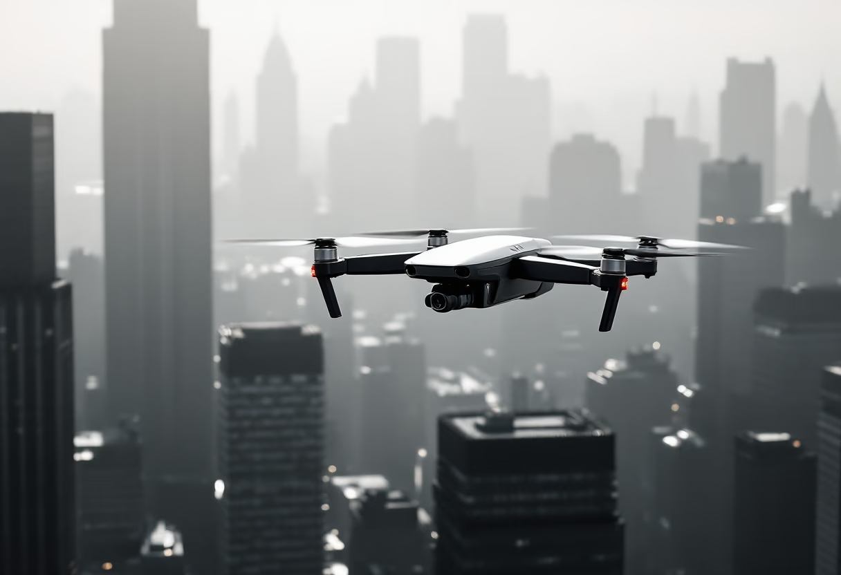
Flying drones in London comes with unique challenges. Here is what businesses should understand about permissions, safety, and compliance.
Answers to your top drone questions.